Geological Survey of Canada
Dalhousie University
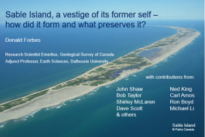
In the dark early hours of November 9, 1987, CSS Dawson lay at anchor off the north side of Sable Island between the lights, a position ordinarily avoided by mariners. The wind was blowing from the south, so this was a weather shore offering the protection needed to collect a core from the seabed in 33 m of water, about 5 km off the beach. That core contained marine sand overlying saltmarsh peat overlying freshwater peat with rooted spruce about 8400 radiocarbon years old. What was spruce doing growing there? We know from geodynamic modelling and core investigations that local sea level has been rising at Sable Island throughout the Holocene. Paleogeographic reconstructions by John Shaw and colleagues (Geological Survey of Canada) have revealed that after Sable Island was deglaciated about 10 000 years ago, the emergent part of Sable Island Bank was at least the size of Prince Edward Island. Over the following 4000 years, as global and local sea level rose, the island gradually shrank. By 6000 years ago, it was reduced to just a few times its present width and less than three times its length. As global sea level stabilized but glacial-isostatic subsidence continued at Sable, relative sea level continued to rise, further shrinking the island. The Sable Island we know today owes its existence to a foundation of glacial sand and to sediment transport processes that feed shelf sand toward the beach to build the dunes and balance seaward losses.

